Organized for the first time in 2021, the Ceder in Cederberg is a challenging but beautiful event to attract both seasoned athletes and newcomers, located just three hours north of Cape Town.
Course
The Ceder offers two distances: the Ceder150, which serves as a qualifier for younger age groups, and the Ceder70, a qualifier for men aged 60+ and women aged 50+. Both distances will start and finish at Nuwerust Farm, located just off the main gravel road that runs through the Cederberg.
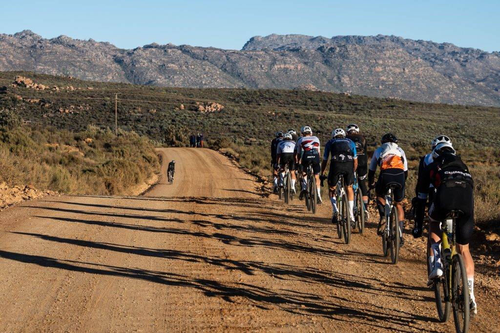
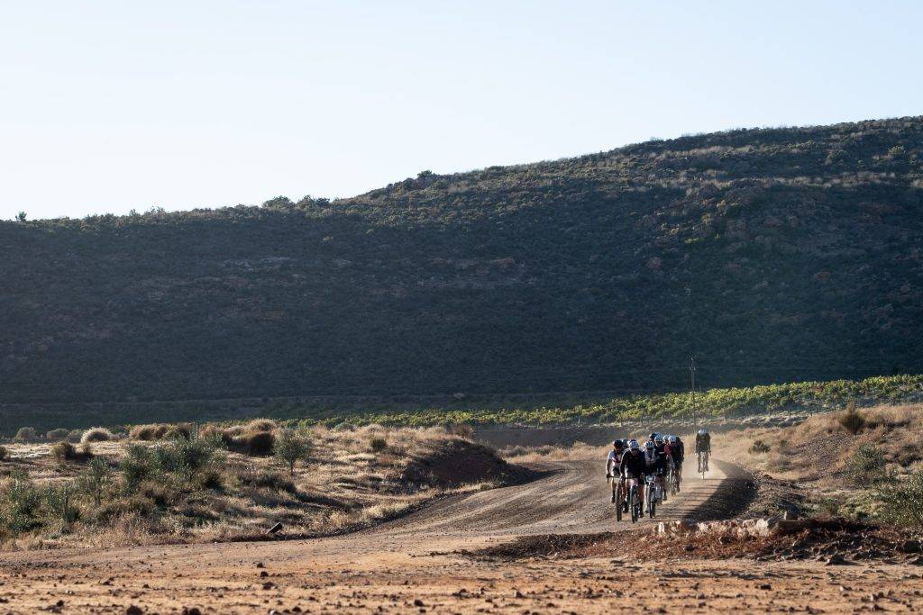
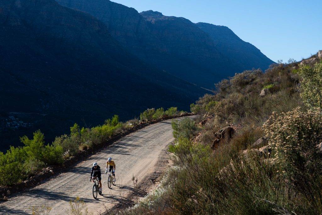
The Ceder150 is 151km long, beginning with a short climb just after leaving the race village as riders head towards the vineyards of Sanddriff and Cederberg Wines. The first 35 km features a deceptively challenging false flat leading to the first steep descent down Uitkyk Pass towards Algeria.
The route then forks left just after a feed zone toward Nieuwoudts Pass, offering riders spectacular views into the Jamaka Farm valley during the climb, followed by a fast descent. After this, the course follows the Olifants River, providing riders with beautiful scenery along the way.
We anticipate that riders will start to make tactical moves on the challenging climb just after the Clanwilliam Dam heading into Keurbos, where they will find the unofficial third aid station, offering the iconic frozen orange juice at the Jamaka Kiosk. The final climb, Uitkyk Pass, will require significant effort before riders tackle the quick 40 km finish.
The Ceder Medio Fondo (68 km) follows a similar route to the Gran Fondo, ensuring that participants experience key sections of the course. Riders will start from Nuwerust Farm, navigating an initial climb that will pass by Cederberg Oasis to elevate their heart rates. A fast descent will take them over two low water bridges, often resulting in wet feet as they cross through Matjiesrivier Nature Reserve.
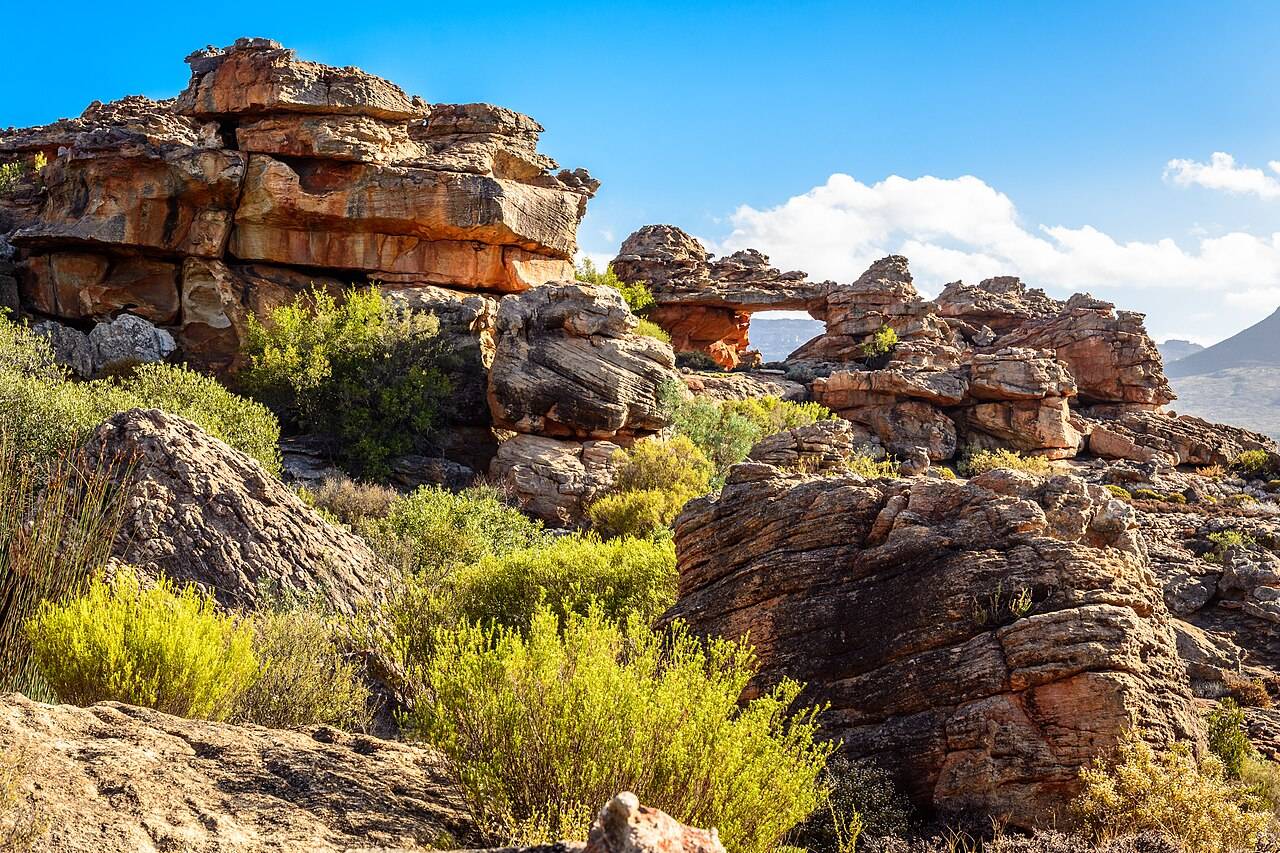
Participants will pass the trailheads leading to historic Cederberg landmarks such as the Stadsaal Caves and the Wolfberg Arch before turning onto the road to Driehoek Farm. After traversing this beautiful farm, they will cross the Driehoek River and return along the same route. The iconic Cederberg Wines Farm will serve as the last water point before making their way back to Nuwerust, where the finish line awaits.
Profile
The 151km course has 2285m of elevation. The course starts at an elevation of 570m above sea level to then steadily climb towards the highest point on course after 37km where riders reach an elevation of 1013m, directly followed by a long 20km descent in two steps towards 108m above the sea.
The major climb of the day follows in the second half where riders climb back to 1013m after 112km on course, a 7,8km climb at 6.3% average.
The mediofondo starts and finishes at the same location to climb towards 939m after 35km, but the majority of the course is much flatter with a final in descent and a total elevation of 770m
CEDERBERG
HISTORY
The Cederberg area was originally inhabited by the San and Khoi people. European settlers began stock farming in the early eighteenth century, leading to the rampant exploitation of natural resources from 1903 to 1973. Large amounts of cedarwood, rooibos tea, buchu, and rockwood bark were harvested, and fires further contributed to the destruction. Cedar trees are now on the brink of extinction. The Cederberg was proclaimed a wilderness area in 1973 and received World Heritage status in 2004. The 12,000-hectare Matjiesrivier Nature Reserve, obtained in 1995 with the assistance of the World Wide Fund for Nature (SA), is situated on the drier eastern boundary of the Cederberg mountains and is managed as part of the Greater Cederberg Conservation Area.
GEOGRAPHICAL LOCATION
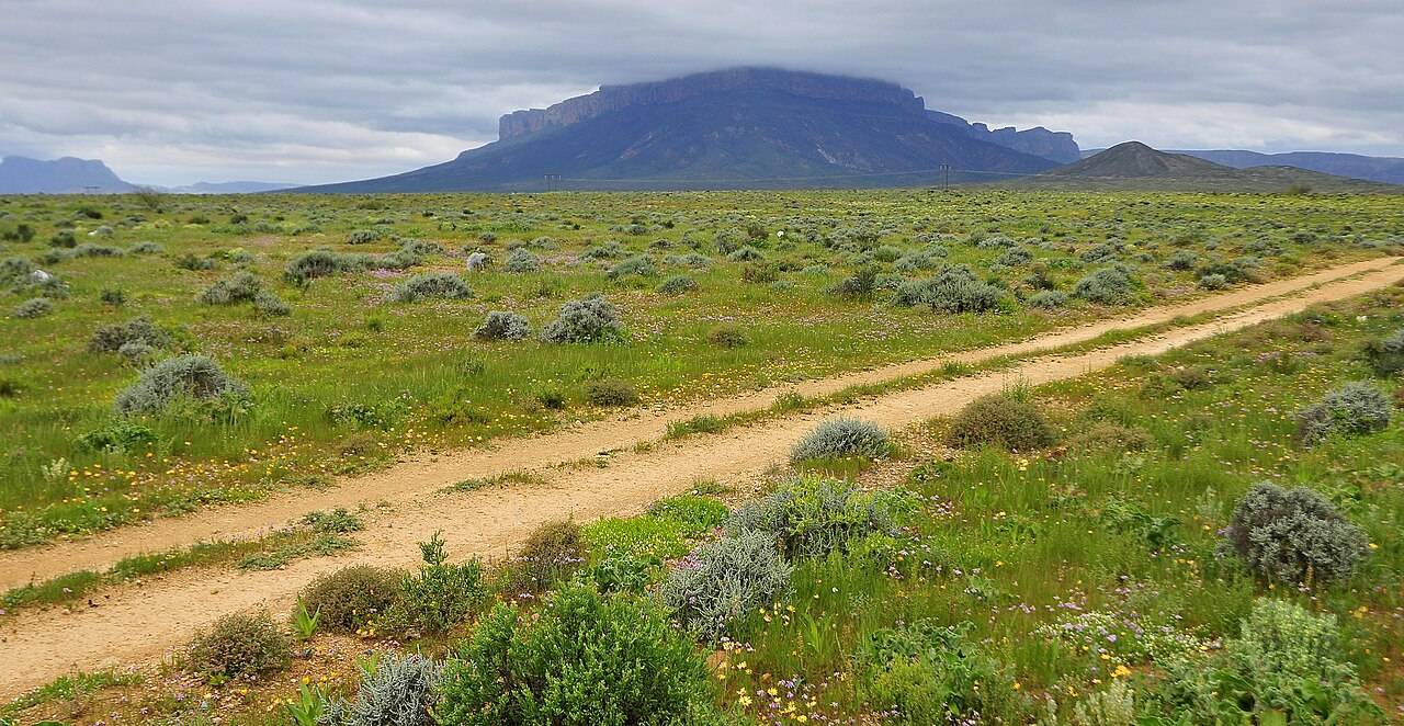
The Ceder Race takes place at Cederberg Oasis, a camping resort and accommodation located in the Cederberg. The race route primarily traverses The Cederberg Wilderness Area, a World Heritage site. The Cederberg is situated approximately 250km north of Cape Town in the estern Cape of South Africa. It stretches from the Middelberg Pass at Citrusdal town to the
north of the Pakhuis Pass at Clanwilliam town, covering around 71,000 hectares of rugged, mountainous terrain. This area is renowned for its spectacular landscapes, rock formations, and the increasingly rare Clanwilliam cedar tree, from which it gets its name.
Geologically, the Cederberg is part of the Cape Fold Belt, consisting mainly of Table Mountain sandstone. The region is famous for its weathered sandstone formations, including the Wolfberg Arch and the Maltese Cross, which are iconic tourist attractions.
ANIMALS
The Cederberg is home to a variety of wildlife, including baboons, dassies, grey rhebok, klipspringers, duiker, and grysbok. Porcupine, honey badger, Cape clawless otter, and aardvark are also present, although rarely seen. The leopard is the largest predator in the Cederberg and, though shy, is fairly common. Smaller mammals include the African wild cat, lynx, bat-eared fox, aardwolf, and Cape fox. The small grey mongoose and striped polecat are often seen. The region also hosts more than 100 bird species, with black eagles, rock kestrels, and jackal buzzards being the most common raptors. There are about 16 snake species, the most common being the berg adder, puff adder, and Cape cobra. The armadillo lizard is one of the endemic reptiles found here.
CLIMATE
Winters in the Cederberg are cold and wet, while summers are warm and dry. Most rain falls between June and September, often accompanied by snow on the higher parts. In winter, night
temperatures drop sharply, and heavy frost may occur, whereas summer temperatures can reach as high as 40°C. Matjiesrivier Nature Reserve, located in arid to semi-arid zones, experiences drier conditions on its eastern slopes compared to those at higher altitudes or facing west. The peaks often see snow, and the lower slopes may also experience snow in some areas. The inaugural race
in 2021 saw riders encountering the worst snow in 20 years.


